
Middle Fell - Lake District Walk
Friday 16th May 2008
What a difference a day makes. After days of hot weather and sunshine today's walk was a grey and at times chilly one. It was also a much slower walk then those earlier in the week as our legs were starting to feel the effects of all the walking we had done during the week.
Start: Greendale (NY 1445 0562)
Route: Greendale - Buckbarrow (245) - Glade How (246) - Cat Bields - Seatallan (247) - Middle Fell (248) - Greendale
Distance: 6 miles Ascent: 817 metres Time Taken: 5 hours 15 mins
Terrain: Generally easy to follow paths.
Weather: Grey and cold.
Pub Visited: The Bridge Inn, Santon Bridge Ale Drunk: Jennings Yan Tyan Tethera
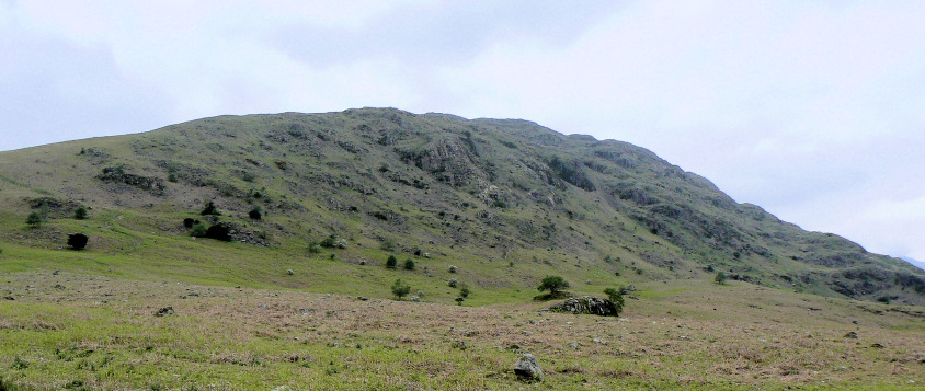
Middle Fell from Greendale.
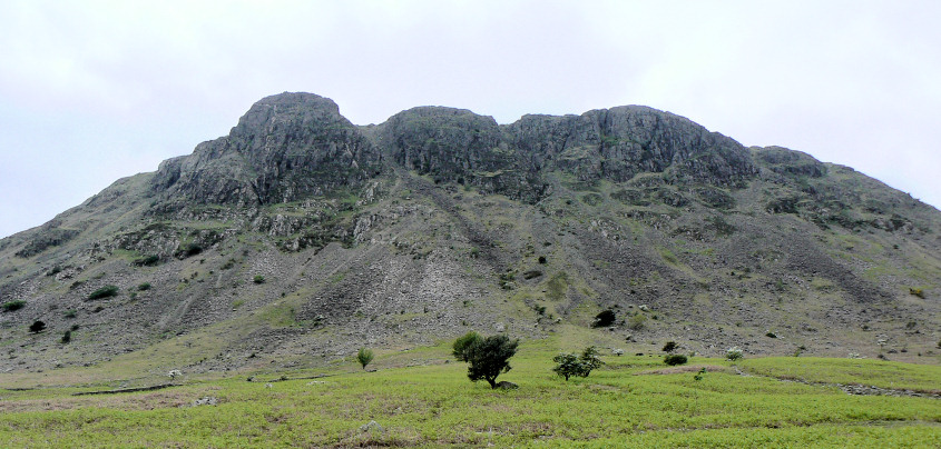
Buckbarrow.
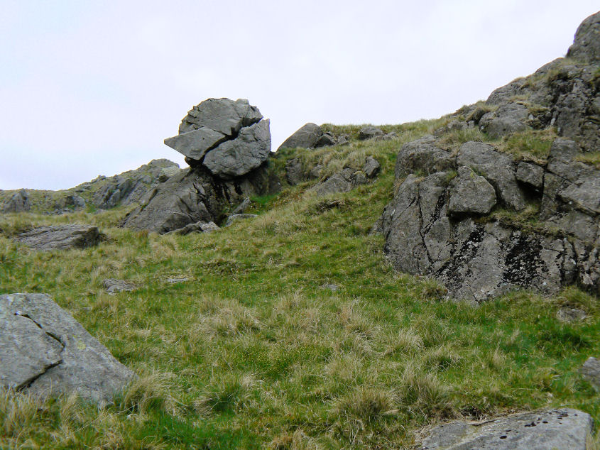
Wainwright's 'Perched and Split Boulder' on route to the summit of Buckbarrow.
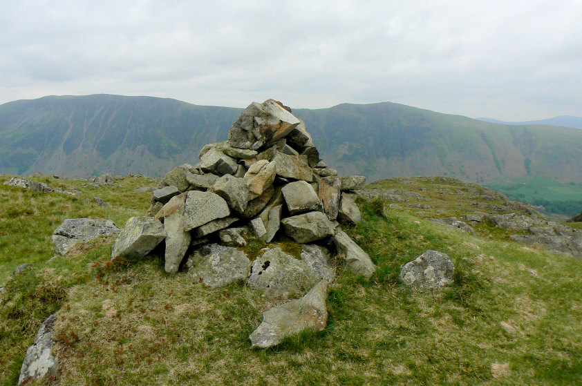
Buckbarrow's summit cairn.
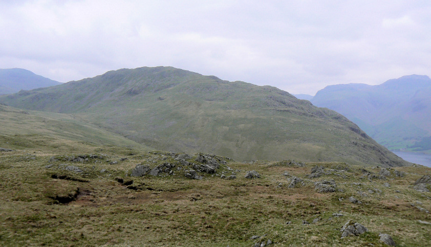
Middle Fell from Buckbarrow.
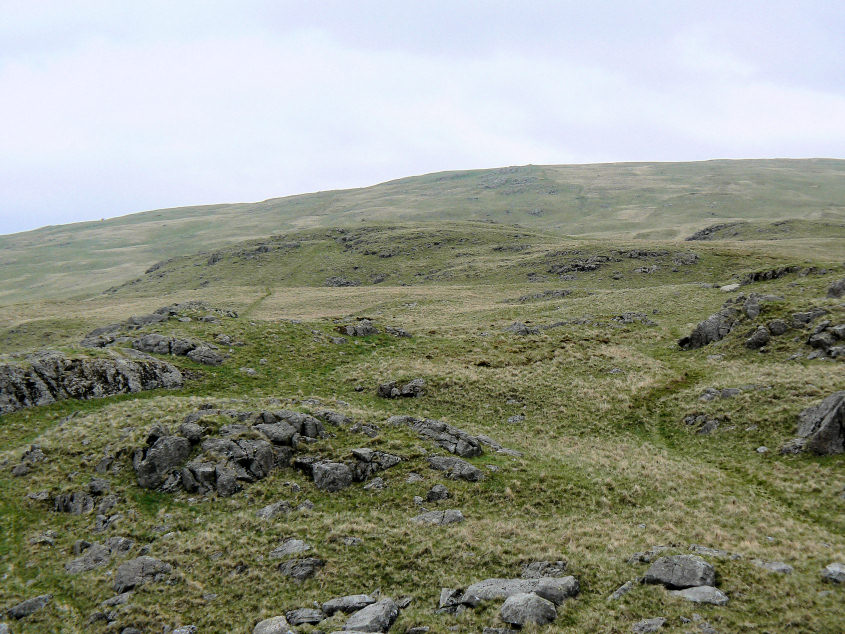
Glade How, centre of picture with Cat Bields behind, from Buckbarrow.
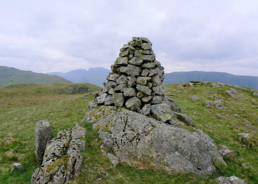
Glade How's well-shaped summit cairn.

Looking to Seatallan's summit from Cat Bields.
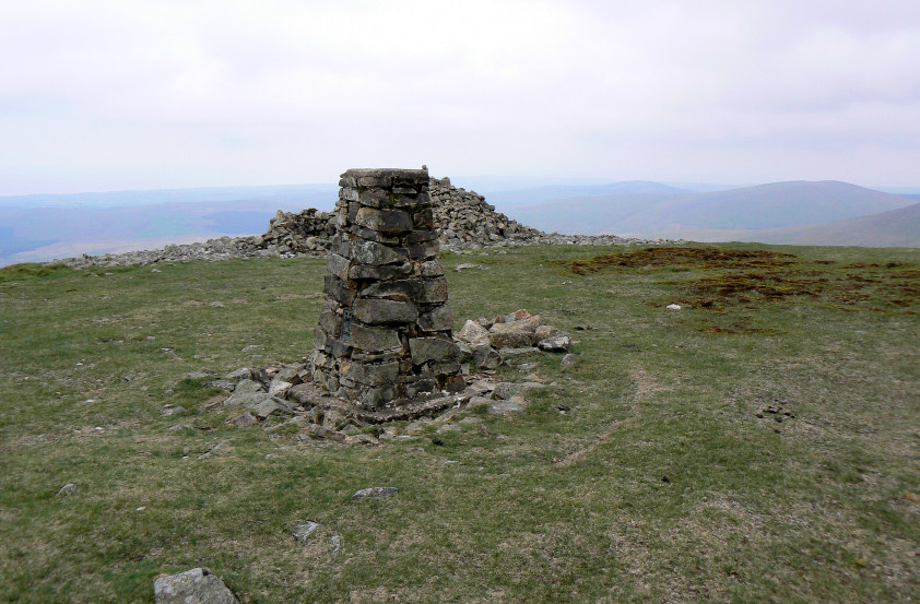
Seatallan's summit trig with the shelter behind.
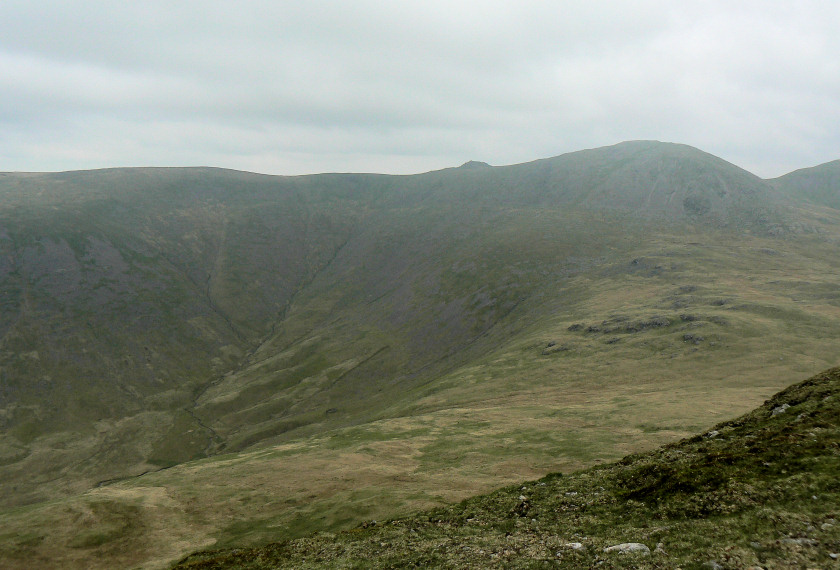
Stockdale Head, Little Gowder Crag and Haycock from Seatallan.
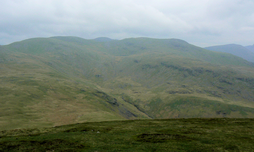
Scoat Fell and Red Pike with Scoat Tarn just visible.
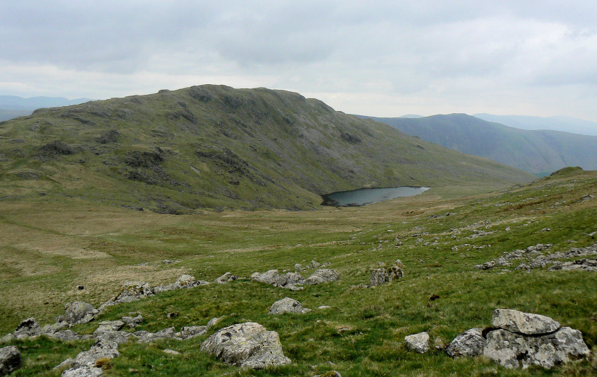
Heading down Seatallan's steep slope towards Greendale Tarn and Middle Fell.
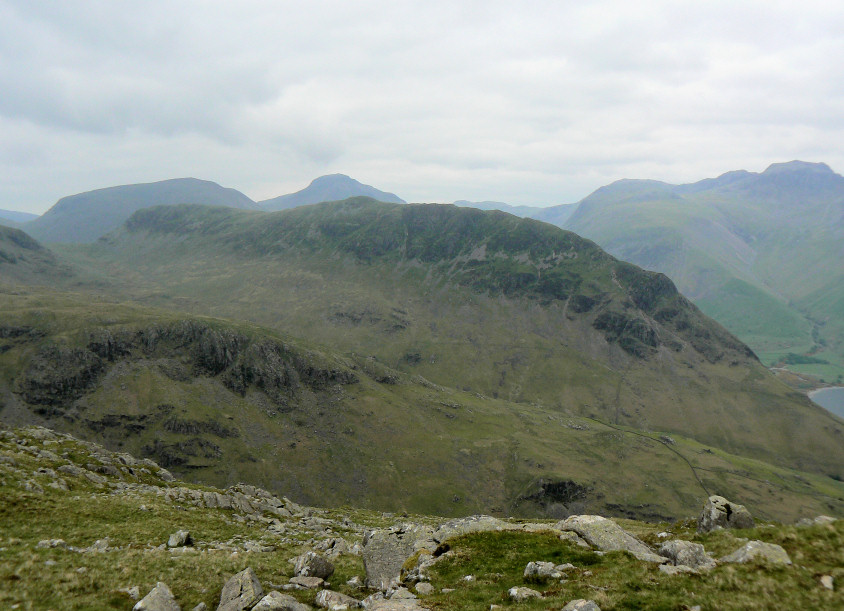
Yewbarrow with Kirkfell and Great Gable behind.
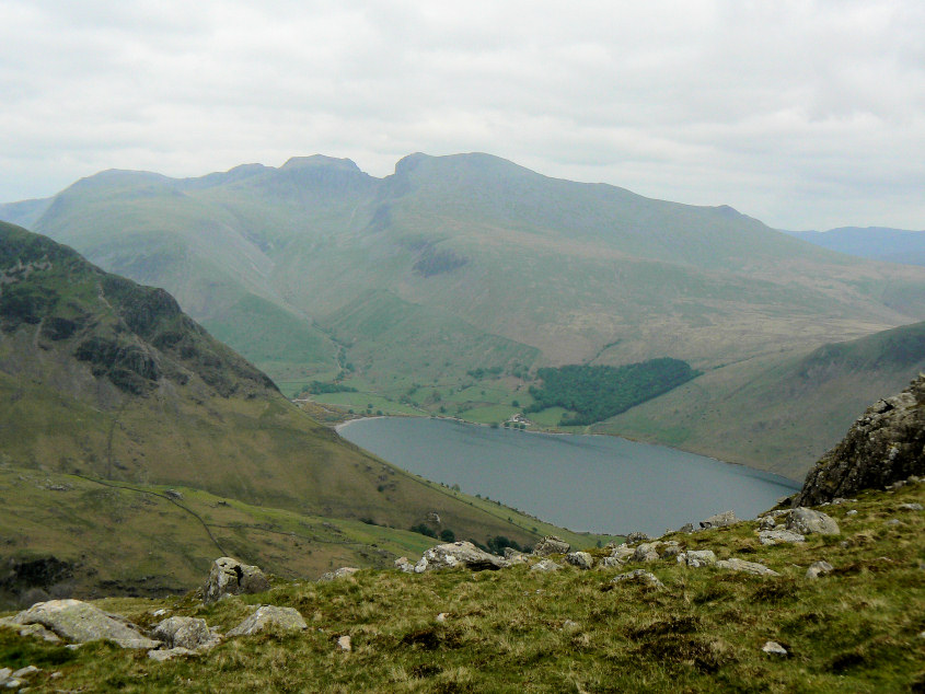
Looking across Wast Water to the Scafells.
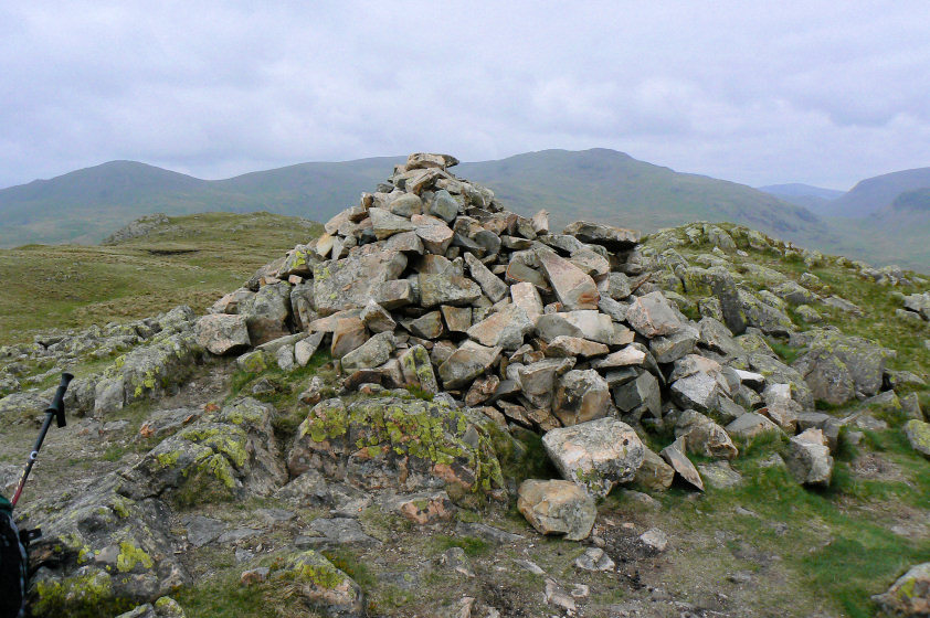
Middle Fell's summit cairn.
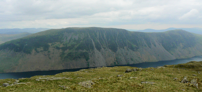
Wast Water Screes from Middle Fell.
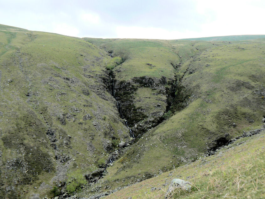
Tongues Gills from the path used in the descent from Middle Fell.
All pictures copyright © Peak Walker 2006-2023