
Shining Tor - Peak District Walk
Sunday 13th November 2016
Making the most of the dry forecast we headed out to the Goyt Valley for a walk to Shining Tor. Wallking along the Tors we were kept entertained by the paragliders who were out in force on the other side of the wall to us.
Start: Errwood Hall car park (SK 0120 7483)
Route: Errwood Hall car park - Stake Side - Shining Tor (TP) - The Tors - Cats Tor - Oldgate Nick - The Street - Errwood Hall - Errwood Hall car park
Distance: 5.75 miles Ascent: 350 metres Time Taken: 3 hours 40 mins
Terrain: Good paths
Weather: Increasing cloud throughout the day
Pub Visited: The Duke of York, Pomeroy Ale Drunk: Robinsons Wizard

As we set out from the car park there no reflections in the reservoir this morning.

Our route starts with a short section of ascent up Stake Side to the top of Shooter's Clough.

After a short section of ascent the view across the reservoir has opened up to include Combs Moss.

Our return route will take us along the path running below Foxlow Edge.

As we follow the path along the top of Stake Side the view behind us extends as far as Rushup Edge and Mount Famine.

As we reach the point where we turn for Shining Tor's summit Axe Edge Moor is visible across Goyt's Moss.

Shining Tor from our turning point at the top of Stake Side.

Looking across to Shutlingsloe and Croker Hill.

It was rather muddy by the benches on Shining Tor's summit.

We opt for a coffee in the county of Cheshire.

This paraglider was just about to land as we reached the trig point.

Looking across Cheshire to Macclesfield Forest beyond which it is just about possible to make out the Lovell Telescope at Jodrell Bank.

Our route to Cats Tor follows the wall along the ridge.

The view ahead is dominated by Rushup Edge.

The route from Shining Tor to Cats Tor is slabbed, which really cuts down on the bog-hopping.

Looking through the gap at Oldgate Nick to Windgather Rocks and Whaley Moor.

Before we left the ridge we had lunch with views across the valley, here looking towards Wild Moor and Goyt's Moss.

Looking down The Street, we would only be going as far as Foxlow Edge, the ridge just below us.

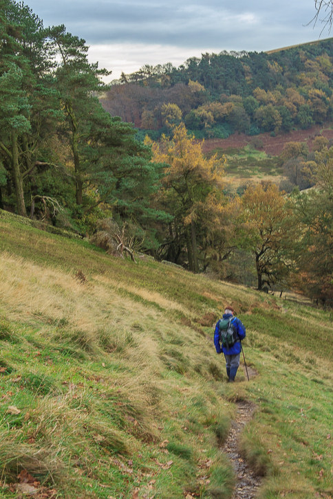
We follow the path signed for Errwood heading towards Foxlow Edge.

We take the lower path heading towards the tree-lined Shooter's Clough.
The path is quite narrow and muddy in places.
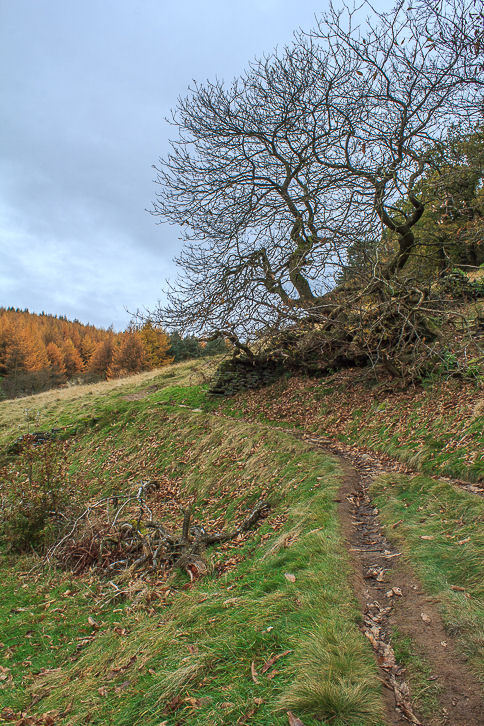
The leaves are rapdily disappearing from the trees now.
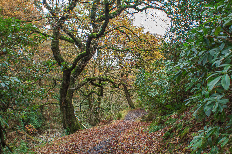
Following the path through the wood towards Errwood Hall

One reason for picking this route was so I could check out the possibilility of using Errwood Hall as a location for a fashion shoot for my photography course.

The only great shots would be using the windows as the rest of the hall is made up of the footings from the walls. Another idea knocked on the head, time to see if we can find any pubs open on the way home.
All pictures copyright © Peak Walker 2006-2023