|
||
|
|
Loadpot Hill |
|
|
Height 2201 feet/671metres |
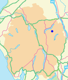
Grid Reference NY 457 181 |
||||
|
Area Birkett - Eastern Fells, Loadpot Hill Group - Top No. 164 Wainwright - The Far Eastern Fells Nuttall - Lake District, Far Eastern Fells: Walk 7.2 Hewitt - Region 34C: Eastern Fells | |||||
|
|||||
|
|
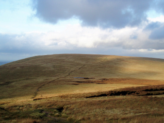
Loadpot Hill from Wether Hill.
|
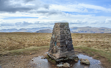
The trig point on Loadpot Hill's summit. |
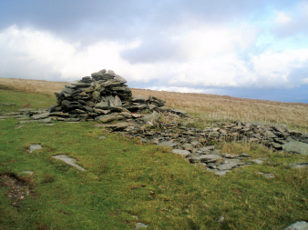
The remins of Lowther House on the path to Loadpot Hill.
|