
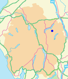
Loadpot Hill
Height 2201 feet/671metres
Grid Reference NY 457 181
Area
Birkett - Eastern Fells, Loadpot Hill Group - Top No. 164
Wainwright - The Far Eastern Fells
Nuttall - Lake District, Far Eastern Fells: Walk 7.2
Hewitt - Region 34C: Eastern Fells
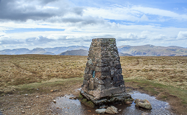
The trig point on Loadpot Hill's summit.
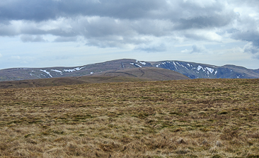
The view towards High Raise from Loadpot's summit.
The remains of Lowther House on
the path to Loadpot Hill.
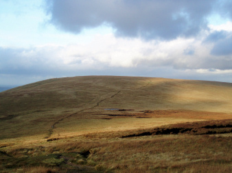
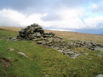
Looking towards Loadpot Hill from Wether Hill.
Askham - Heughscar Hill - High Street Roman Road - Loadpot Hill - High Street Roman Road - Askham Fell - Askham
Roehead - Barton Fell - Arthur's Pike (229) - Bonscale Pike (230) - Swarth Fell (231) - Loadpot Hill - High Street Roman Road - Roehead
Moorahill Farm - Hause End - Low Kop (136) - Red Crag (137) - Wether Hill (138) - Loadpot Hill (139) - Hart Hill - Moorahill Farm
All pictures copyright © Peak Walker 2021
©Crown copyright. All rights reserved. Licence number 100045184.